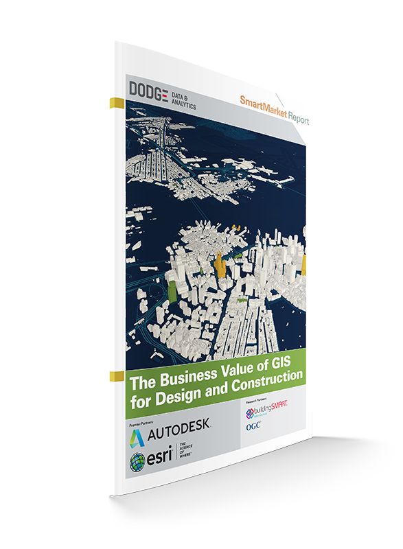
Our physical world is a rich three-dimensional experience. While architectural and engineering design tools have been dramatically advancing to more effectively engage with 3D, geospatial (GIS) information has also been evolving from 2D maps into detailed surface, subsurface and land-use datasets and visualizations. Now these exciting advancements are joining forces to provide fully informed 3D contextual environments.
Esri and Autodesk have partnered with Dodge Data & Analytics on research to understand exactly how the design and construction industry is currently using GIS and its benefits to their projects and companies in order to help the industry better understand its potential.
Download this complimentary report to access all of the findings of this full 52-page report.

